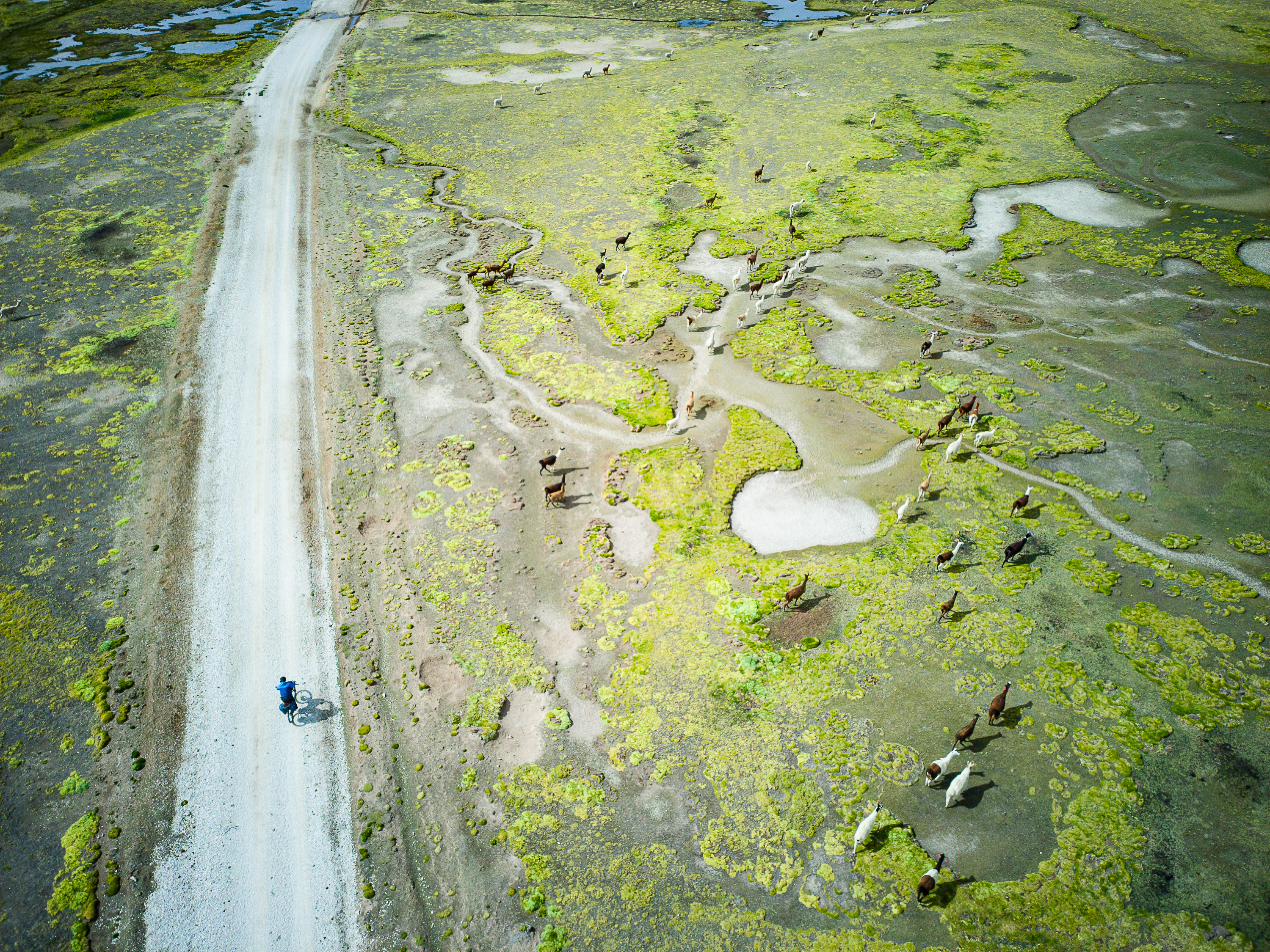

Eastern Oregon features some of the most rugged landscapes in the Pacific Northwest, with layered canyons, vast high-desert plains, multi-coloured rock formations, forested plateaus, and incredible geological formations. Small towns that feel little removed from the Old West dot the region, connected by quiet highways and little-used gravel roads.
This route explores the region between the town of John Day and the Painted Hills, one of Oregon’s 7 Natural Wonders. The southern half climbs into the Malheur and Ochoco National Forests, while the northern section mostly sticks to the canyons below, making for a diverse ride with varying scenery throughout. It starts in John Day, passes through two of three sections of John Day National Monument, and follows the John Day River for a stretch, hence the name.
Highlights:
- Camping amidst ponderosa pines in the national forests.
- Riding through sprawling range lands in the high desert
- The town of Mitchell, home to the Spoke’n Hostel and Tiger Town Brewing
- The colourful landscape in and around the Painted Hills and Priest Hole
- The climb past basalt cliffs on South Twickenham Road
- Learning about the geological and natural history of the area at the Thomas Condon Visitor Centre.
- The hospitable locals
Background
I rode this route with my girlfriend in mid-May 2022, which was a great time to enjoy the area. Traffic was light, the snow was melted up high, and temperatures were pleasant in the canyons. The route itself mixes up two Oregon Bikeways, with connecting sections through the national forests. We started in John Day and went clockwise. Our plan was to take three days to Mitchell, where there’s a hostel in the church and a craft brewery, and three days getting back. We stretched the return journey a bit to enjoy the scenery a bit more.
Route Map

WordPress won’t let me embed the route map from Ride With GPS, so click on the image instead.
Key stats:
- Distance: 393 km
- Elevation: 4,895 m
- Suggested riding time: 5-7 days
- Road surfaces: 75% paved
Route Guide
The route begins in John Day, a small town that is the commercial heart of the region. You’ll find a grocery store, brewery, and a few hotels here. We spent the night before the trip at the John Day Motel and parked our car for the week at the Kam Wah Chung State Heritage Site for a small fee. The Kam Wah Chung museum is worth checking out.
The route begins with a moderate 28 km climb on the highway before turning west into Malheur National Forest. A quiet road takes you through stands of ponderosa pine to Oregon Mine campground, which is a peaceful spot to spend the first night. You’ll start day two by dropping out of the forest onto a rough road through a narrow canyon, which exits onto the South Fork John Day Road, where a punchy climb brings you past Wildhorse Falls and onto a plateau where vast ranches stretch as far as the eye can see to the south. Eventually, you’ll enter Ochoco National Forest, where there are many campgrounds available.
The ride to Mitchell climbs you through more ponderosa pine forests before dropping steeply into the arid canyons below. The views on the descent to Highway 26 will have you hitting the brakes frequently to take photos. Mitchell is a one-horse town with a welcoming hostel located in the church and a great craft brewery called Tiger Town. If you’re not in a rush, it’s worth spending the night to enjoy the hospitality, have a hot shower, and enjoy a good meal and beer. You can also re-supply at the well-stocked general store.


The highlight of the route is the stretch from Mitchell to the town of Spray, which we did over two days, but could be done in one long day. We had a relaxing day out of Mitchell, enjoying some short hikes in the colourful Painted Hills. That night we camped at Priest Hole, a gorgeous Bureau of Land Management site on the John Day River. The sunset and sunrise were both incredible.
From Priest Hole, the route climbs above the river for a bit before dropping down to a junction. The climb up the South Twickenham Road is a highlight of the trip due the towering basalt cliffs that line the road. Eventually, you’ll drop back down to the river at Service Creek, where there’s a restaurant, store, and campground. I recommend camping here as the municipal campground in Spray, 20 km down the road, wasn’t very appealing.


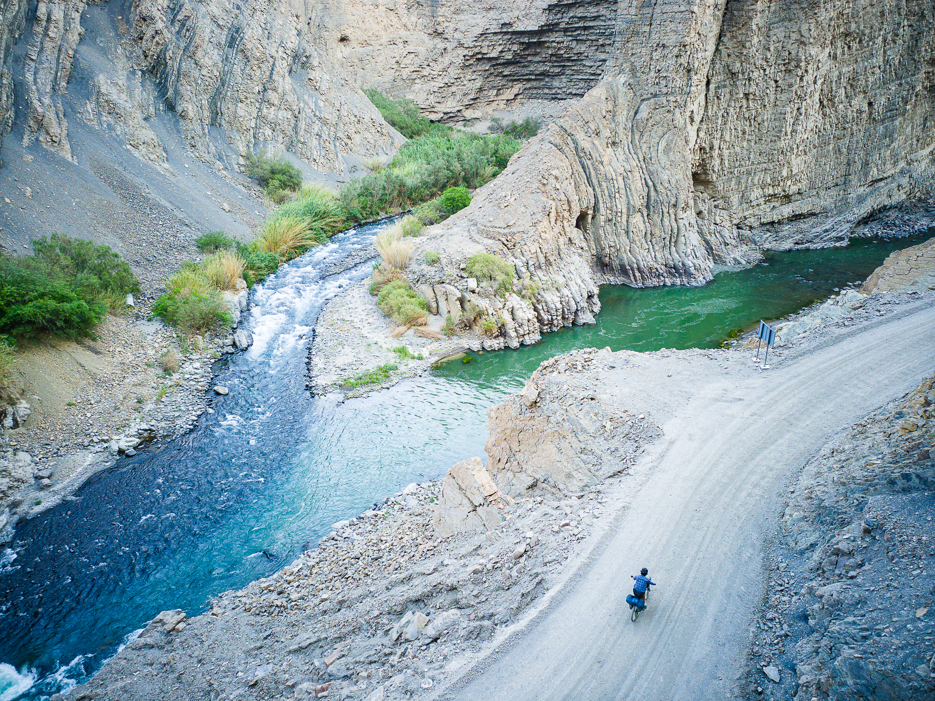
From Service Creek, the route follows a quiet highway along the John Day River back to John Day. The riding is easy and the scenery is beautiful. The Thomas Condon Visitor Centre is a must-visit for it’s great displays on local geological and natural history. It features many skeletons of extinct animals that have been found in the area. If you have time, Dayville is a potential stopover spot. The church will let you sleep on the floor and use their kitchen and bathroom for free, while the Dayville Cafe serves up massive, delicious breakfast. The final 50 km back to John Day is an easy pedal along a moderately-busy highway.


Camping, lodging, food, and water
The first half of the route from John Day to Mitchell is remote, with no options to resupply. There were frequent creeks to filter water from, though you’ll always want to keep a couple of bottles full just in case. There’s a few free campgrounds marked on the map, but you can also wild camp if necessary. In Mitchell, you’ll find accommodation, a brewery, and general store. As mentioned, the Spoke n’ Hostel is worth spending a night at for the hospitality and to meet other cyclists. After Mitchell, you’ll find small stores and/or restaurants in Service Creek, Spray, Kimberley, Dayville, and Mount Vernon. There’s a motel in Spray and you can sleep for free at the church in Dayville. There’s frequent campgrounds along this stretch, too.
Which Bike?
Most of this route is on pavement or good quality dirt roads. There’s some short, rougher stretches but nothing that requires a mountain bike. A gravel bike with 40mm tires is the ideal bike for this route.
Must Know
When to ride & weather
This route is best ridden in spring and fall, as it can get very hot in this region in summer. We encountered a few patches of snow on our ride in mid-May, but they were easy to push through. Check out this SNOTEL site at a high point near Mitchell to monitor snow levels.
Where to start?
John Day is the biggest town in the area and you can park at the Kam Wah Chung State Heritage Site. Really, you could start at any point on route where you can find parking.
Time and suggested itinerary
We completed this ride in 6.5 days, including a shortened fourth day and easy final day. Really, you could do this ride comfortably in five days, and even four days wouldn’t be too bad for a strong rider. A six day pace will let you enjoy the scenery, camping, and hospitality in the area.


Leave a Reply